
City Hall's 2050 Tree Canopy Goal Masks Unequal Shade Divide
AI-generated image · Bay Street Wire
While officials tout a plan to reach 40 per cent canopy coverage, data reveals lower-income neighborhoods remain heat islands while wealthy enclaves enjoy maximum shade.
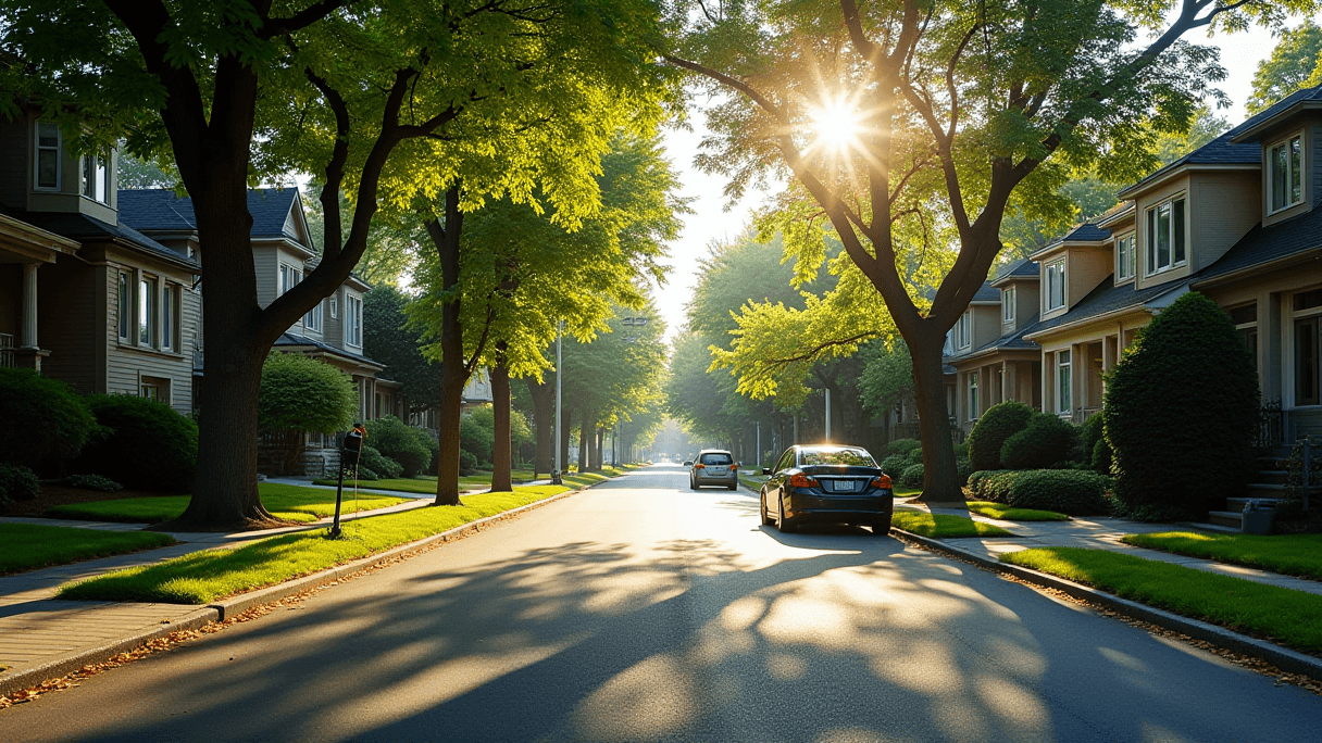
Toronto is grappling with a stark divide in shade access as extreme heat becomes a recurring summer crisis. While City Hall has set a target to increase the city's tree canopy to 40 per cent by 2050, current distributions reveal a systemic gap between the city's wealthiest and most vulnerable residents.
According to reporting from CBC Toronto, the city's current tree canopy covers roughly 30 per cent of the land. James Nowlan, executive director of the city's environment, climate and forestry division, states the city is planting approximately 120,000 trees annually, prioritizing areas of highest need. However, Nowlan acknowledges that historical growth patterns have prevented trees from being spread equally across the city.
Dorsa Jalalian, an associate and senior urban designer at the architecture and design firm DIALOG, notes that when tree canopy maps are overlaid with income and demographic data, a clear pattern emerges: wealthier neighborhoods possess significantly better access to shade. Conversely, lower-income areas—particularly those with high concentrations of apartments and condos—are more susceptible to the "urban heat island effect," where built-up environments trap and radiate heat, making them several degrees warmer than rural areas or tree-heavy neighborhoods.
To quantify this disparity, the city has partnered with the non-profit conservation organization American Forests and the urban forest organization LEAF to launch the Tree Equity Score Analyzer for Toronto. This interactive tool assigns neighborhoods a score from zero to 100 based on whether residents can access the environmental and economic benefits of an urban forest. The data highlights a massive gap: while Baby Point and the Beach both hold perfect scores of 100, New Toronto (score of 56) and Downsview (score of 57) are classified as "highest priority" for planting.
City Hall is attempting to modernize its approach through "thermal comfort guidelines" developed in 2025 in partnership with DIALOG. These guidelines represent North America's first four-season outdoor thermal framework to evaluate public spaces via radiant temperature, air temperature, humidity, and wind. Jalalian describes this as a shift in perspective for a city that has historically viewed itself as a "winter city."
Despite these long-term goals, experts warn that the immediate danger remains. Nidhi Subramanyam, an assistant professor of geography and planning at the University of Toronto, points out that newly planted trees take years to mature. She argues for immediate interventions, such as passive cooling at bus stops and transit shelters to serve as refuges, specifically in high-vulnerability areas like Etobicoke North and Scarborough Centre.
The urgency is underscored by a city of Toronto climate report, which projects that by 2080, southern Ontario and Toronto will see 55 to 60 days per year exceeding 30 C, a sharp increase from the current average of 14 days.